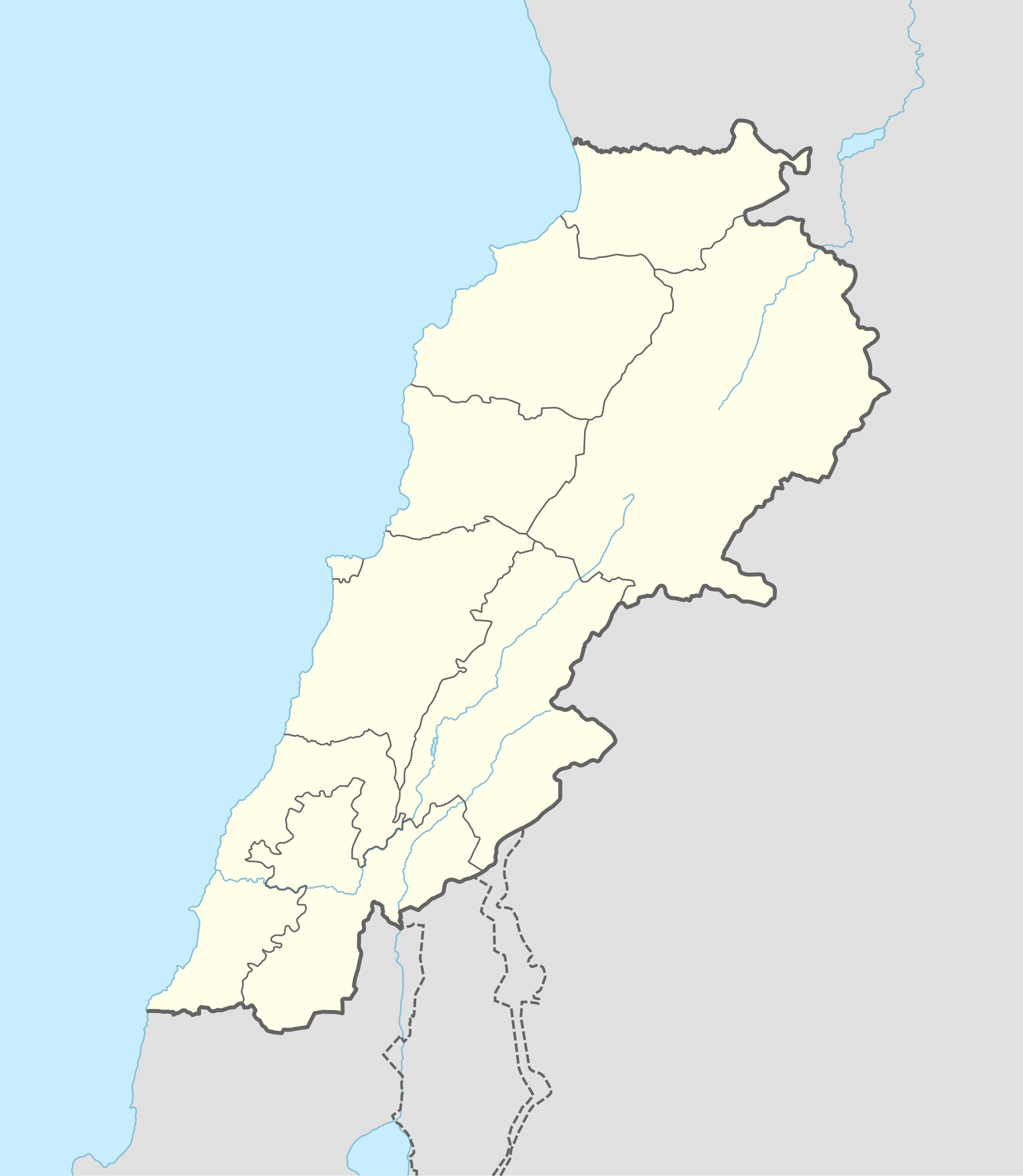
Templat:Lebanese insurgency detailed map
Tampilan
Hold cursor over location to display name
2 nested circles: inner controls, outer sieges // 3 nested circles: mixed control with stable situation // Small icons within large circle: situation in individual neighbourhoods/districts
 Under control of the Lebanese Government forces
 Under control of Hezbollah and PFLP-GC
 Under control of the Islamic State of Iraq and the Levant
 Under control of Sunni militants and al-Nusra Front
Contested:
 Lebanese Government–Hezbollah and PFLP-GC
 Lebanese Government–ISIL
 Hezbollah and PFLP-GC–ISIL
 Lebanese Government–Sunni militants/al-Nusra Front
 Hezbollah and PFLP-GC–Sunni militants/al-Nusra Front
 Sunni militants/al-Nusra Front–ISIL
Other
 Military base
 Airport/Air base (jet)
 Airport/Air base (helicopter)
 Major port or naval base
 Border Post
 Dam
Dam Industrial complex
2 nested circles: inner controls, outer sieges // 3 nested circles: mixed control with stable situation // Small icons within large circle: situation in individual neighbourhoods/districts

